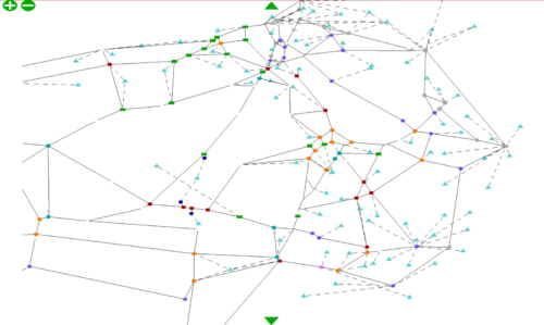
A29 Realignment Scheme SATURN Model
The Saturn model output was adapted to support local junction assessments.
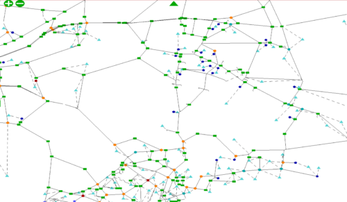
The Swale Highway Saturn model is a strategic model, originally developed to assess alternative forecast scenarios for the emerging Local Plan. This model has been used to support proposals for a large-scale development at Highsted Park which involved substantial infrastructure, including a new junction with the M2. The model was used to assess the sensitivities of the network and develop a sustainable travel strategy. Output from the model was used to carry out detailed assessments of key junctions.
The Swale model was also used to support the proposed extension of Kent Science Park. Decision makers and stakeholders were able to make informed decisions and ensure that the expansion of the Kent Science Park aligned with the development of the region.
SATURNThe Saturn model output was adapted to support local junction assessments.
The model was used to identify the potential impact of the development on the highway network.
Please get in touch using the form below.