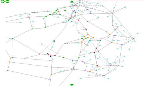
Swale Highway SATURN Model
This model has been used to support proposals for a large-scale development at Highsted Park.
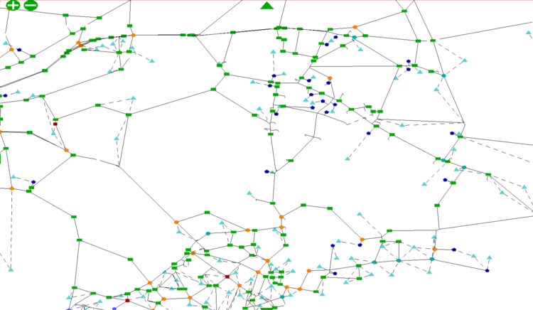
A29 Realignment Model
You are here: Home » Case Studies »
West Sussex County Council originally developed a SATURN model for the A29 Realignment Scheme linking the A27 and Bognor Regis. TMS staff adapted this model to support a proposed residential development at Woodgate.
This adaptation involved the manipulation of travel demand matrices, to reflect forecast traffic generation, and modification of the highway network for alternative scenarios. The model output was used to support local junction assessments and assisted in securing planning permission.
SATURNThis model has been used to support proposals for a large-scale development at Highsted Park.
The model was used to identify the potential impact of the development on the highway network.
Please get in touch using the form below.