Mid Kent A20 VISUM model
This model was adapted by TMS staff to assess alternative development and highway options within the region.
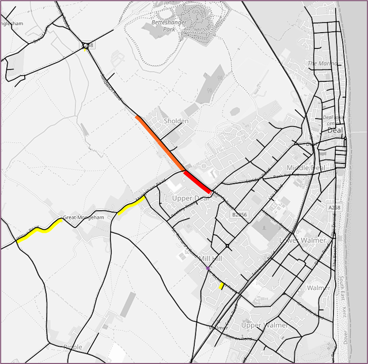
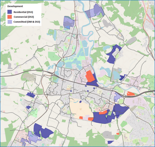
The Dover and Deal VISUM model extends to encompass the strategic and major road network and also incorporates individual junction detail in the urban areas. This sophisticated transportation planning model was used to assess various scenarios for proposed development to the north west of Deal. The model played a role in analysing the various route possibilities in terms of their potential impacts on traffic patterns, travel times, congestion levels and overall transportation efficiency.
This approach ensured that the chosen route promoted efficient traffic flow, minimized potential disruptions and contributed to the sustainable development of the North West of Deal area.
PTV VISUMThis model was adapted by TMS staff to assess alternative development and highway options within the region.
Please get in touch using the form below.