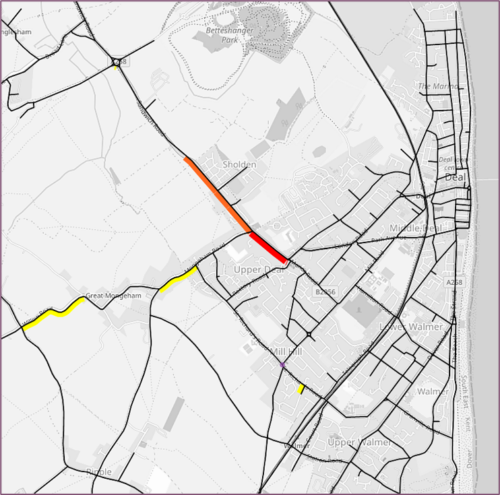
Dover & Deal VISUM model
The model played a role in analysing the various route possibilities in terms of their potential impacts on traffic patterns, travel times, congestion levels and overall transportation efficiency.
Tonbridge and Malling Borough Council and Kent County Council
You are here: Home » Case Studies »
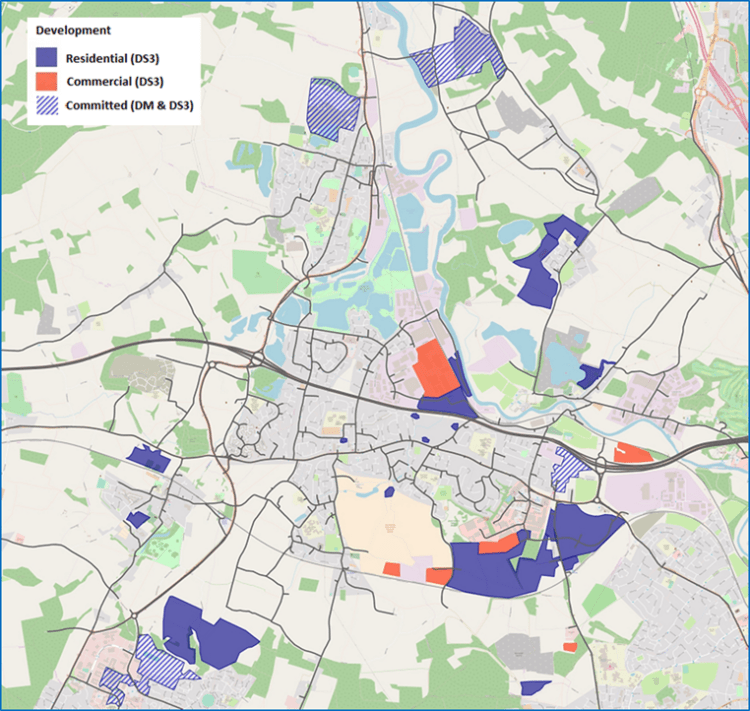
The A20 corridor between West Malling and Maidstone was identified as a significant growth area by Tonbridge & Malling Borough Council. This required a comprehensive assessment of development traffic impact including parts of the Strategic Road Network.
KCC and TMBC commissioned a VISUM model for the A20 corridor, including M20 Junctions 4 and 5. This model was originally designed to support the development of the Local Plan strategy. However, it was adapted by TMS staff to assess alternative development and highway options within the region.
The modifications made to the original model included updating it to incorporate committed development for the “Do Minimum” scenario. This ensured the model accurately reflected the anticipated changes from projects that were in progress or were planned to occur. Furthermore, the model introduced a new link road for the future year scenario referred to as the Aylesford Newsprint Link Road.
The output of turning movements generated by this enhanced A20 VISUM model can now be used for further assessments. Importantly it can offer detailed information of how vehicles navigate through critical junctions and intersections. This adapted A20 VISUM model was undertaken on behalf of KCC and enabled informed decision-making about the potential impacts and benefits, and feasibility of the proposed new link.
PTV VISUMThe model played a role in analysing the various route possibilities in terms of their potential impacts on traffic patterns, travel times, congestion levels and overall transportation efficiency.
Please get in touch using the form below.